City Graph › Minnesota
Wright County, MN
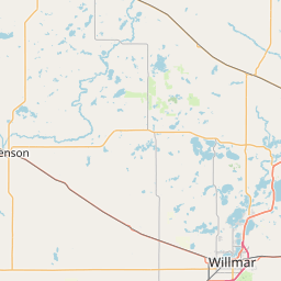
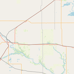
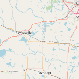
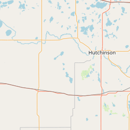
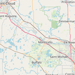

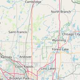
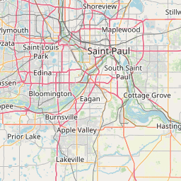
- GPS
- 45.175091, -93.966396
- Land area
- 661.144 sq mi
- Water area
- 53.244 sq mi
Cities in Wright County


Albertville, MN
45.236048, -93.662668


Annandale, MN
45.259597, -94.121049

Buffalo, MN
45.17951, -93.863995


Clearwater, MN
45.409879, -94.04456


Cokato, MN
45.076721, -94.187548


Delano, MN
45.038266, -93.793012
Hanover, MN
45.157755, -93.66275
Howard Lake, MN
45.053986, -94.061
Maple Lake, MN
45.232626, -94.009546
Monticello, MN
45.294103, -93.786294
Montrose, MN
45.066545, -93.920253

Otsego, MN
45.264286, -93.620742
Rockford, MN
45.090841, -93.745218
South Haven, MN
45.292736, -94.217376
St. Michael, MN
45.199238, -93.689526
Waverly, MN
45.06374, -93.966628
County GPS and area from the U.S. Census Bureau 2024 Gazetteer.