City Graph › Minnesota
Washington County, MN
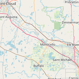

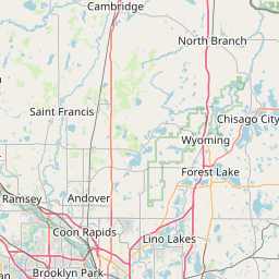
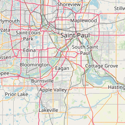
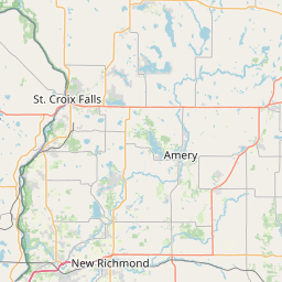
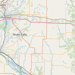
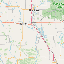
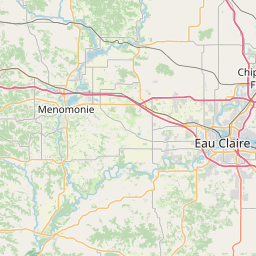
- GPS
- 45.037929, -92.890117
- Land area
- 384.753 sq mi
- Water area
- 38.557 sq mi
Cities in Washington County


Afton, MN
44.898776, -92.819108


Bayport, MN
45.014845, -92.778906
Baytown, MN
45.009025, -92.824726

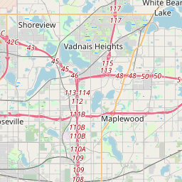

Birchwood Village, MN
45.059981, -92.978025


Cottage Grove, MN
44.813326, -92.914315
Dellwood, MN
45.098812, -92.967619


Forest Lake, MN
45.250831, -92.96692

Grant, MN
45.082077, -92.910948
Hugo, MN
45.164225, -92.960105
Lake Elmo, MN
44.987847, -92.909654
Lakeland, MN
44.953174, -92.76663
Landfall, MN
44.950029, -92.976955
Mahtomedi, MN
45.058292, -92.970186

Marine on St. Croix, MN
45.190929, -92.77843
Newport, MN
44.874399, -92.998647
Oak Park Heights, MN
45.033432, -92.810186
Oakdale, MN
44.987546, -92.963553
Pine Springs, MN
45.038031, -92.95594
Scandia, MN
45.251536, -92.833409
St. Marys Point, MN
44.910548, -92.770157
St. Paul Park, MN
44.83568, -92.994128
Stillwater, MN
45.058606, -92.830408
West Lakeland, MN
44.976947, -92.815108
Willernie, MN
45.053731, -92.957987
Woodbury, MN
44.906283, -92.923703
County GPS and area from the U.S. Census Bureau 2024 Gazetteer.