City Graph › Minnesota
Stearns County, MN
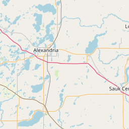
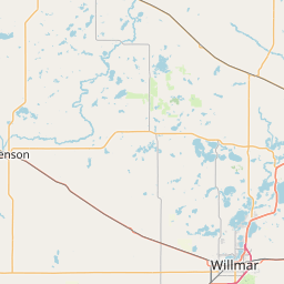
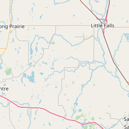
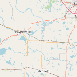
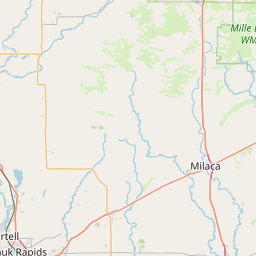
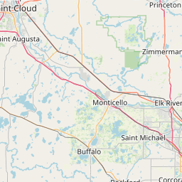
- GPS
- 45.555235, -94.610482
- Land area
- 1342.882 sq mi
- Water area
- 47.017 sq mi
Cities in Stearns County


Albany, MN
45.626654, -94.563237


Avon, MN
45.605505, -94.447741


Cold Spring, MN
45.458256, -94.428154


Kimball, MN
45.31433, -94.300807


Melrose, MN
45.677008, -94.814774


Paynesville, MN
45.378519, -94.721592

Richmond, MN
45.454513, -94.513607

Sartell, MN
45.61809, -94.212153
Sauk Centre, MN
45.736472, -94.952729

St. Augusta, MN
45.450173, -94.193785
St. Cloud, MN
45.526658, -94.171007
St. Joseph, MN
45.56507, -94.30207
Waite Park, MN
45.520868, -94.242982
County GPS and area from the U.S. Census Bureau 2024 Gazetteer.