City Graph › Minnesota
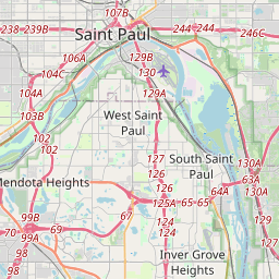
Ramsey County, MN
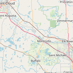

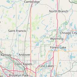
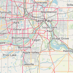
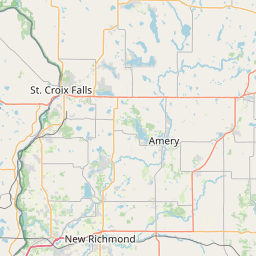
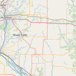
- GPS
- 45.015204, -93.099965
- Land area
- 152.257 sq mi
- Water area
- 17.756 sq mi
Cities in Ramsey County

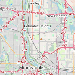

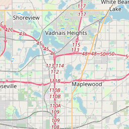
Arden Hills, MN
45.071159, -93.165472
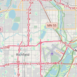
Falcon Heights, MN
44.988052, -93.174659


Gem Lake, MN
45.061068, -93.038067
Lauderdale, MN
44.994407, -93.203134
Little Canada, MN
45.023265, -93.083655
Maplewood, MN
45.019015, -93.03106
Mounds View, MN
45.106737, -93.206834
New Brighton, MN
45.067226, -93.205779
North Oaks, MN
45.10484, -93.101065
North St. Paul, MN
45.013522, -93.00184
Roseville, MN
45.015625, -93.153807
Shoreview, MN
45.082989, -93.140492
St. Paul, MN
44.948901, -93.104063
Vadnais Heights, MN
45.057938, -93.066454
White Bear Lake, MN
45.065214, -93.012871
White Bear Township, MN
45.101345, -93.024779
County GPS and area from the U.S. Census Bureau 2024 Gazetteer.