City Graph › Minnesota
Dakota County, MN

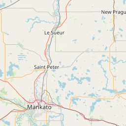
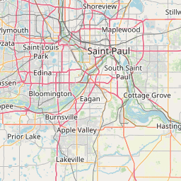
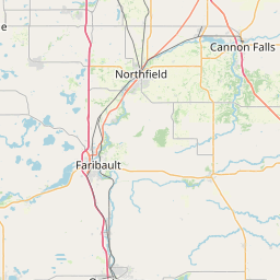
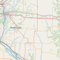

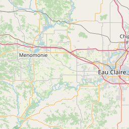

- GPS
- 44.670893, -93.062481
- Land area
- 562.557 sq mi
- Water area
- 24.323 sq mi
Cities in Dakota County


Apple Valley, MN
44.745301, -93.199413

Burnsville, MN
44.764409, -93.279372
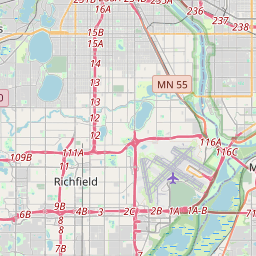
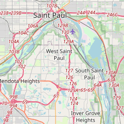
Eagan, MN
44.815217, -93.162816
Farmington, MN
44.659163, -93.168705


Hastings, MN
44.73178, -92.854512

Inver Grove Heights, MN
44.829015, -93.060072

Lakeville, MN
44.676134, -93.251743
Lilydale, MN
44.908785, -93.130754
Mendota, MN
44.887493, -93.161716
Mendota Heights, MN
44.878932, -93.133929
Rosemount, MN
44.745814, -93.068864
South St. Paul, MN
44.888027, -93.040497
Sunfish Lake, MN
44.872673, -93.086963
West St. Paul, MN
44.902414, -93.085327
County GPS and area from the U.S. Census Bureau 2024 Gazetteer.