City Graph › Minnesota
Chisago County, MN
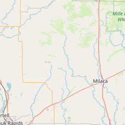
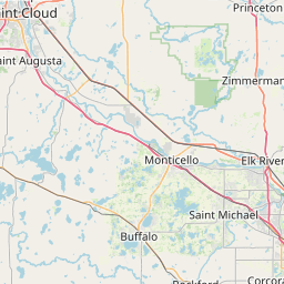
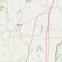
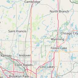
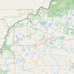
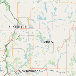
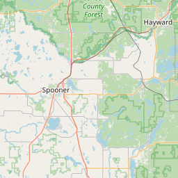
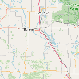
- GPS
- 45.505444, -92.903849
- Land area
- 414.901 sq mi
- Water area
- 27.483 sq mi
Cities in Chisago County

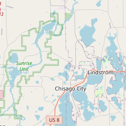

Chisago City, MN
45.372274, -92.916665
Lindstrom, MN
45.385816, -92.843674


North Branch, MN
45.509885, -92.955655


Rush City, MN
45.687442, -92.965303
Stacy, MN
45.423044, -92.97032


Wyoming, MN
45.339912, -92.968392
County GPS and area from the U.S. Census Bureau 2024 Gazetteer.