City Graph › Minnesota
Carver County, MN
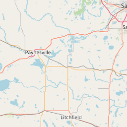
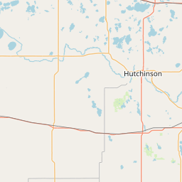
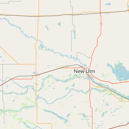
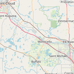

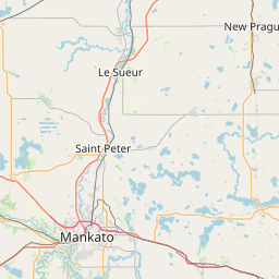
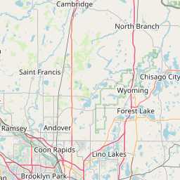
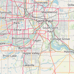
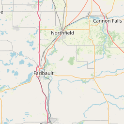

- GPS
- 44.82132, -93.800091
- Land area
- 353.879 sq mi
- Water area
- 22.035 sq mi
Cities in Carver County


Carver, MN
44.761475, -93.632544


Chanhassen, MN
44.854285, -93.562384

Chaska, MN
44.816364, -93.610023

Cologne, MN
44.769825, -93.792428
Norwood Young America, MN
44.772107, -93.917287
Victoria, MN
44.862117, -93.658426

Waconia, MN
44.84153, -93.790092


Watertown, MN
44.960214, -93.843921
County GPS and area from the U.S. Census Bureau 2024 Gazetteer.