City Graph › Minnesota
Anoka County, MN
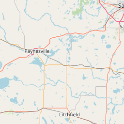
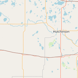
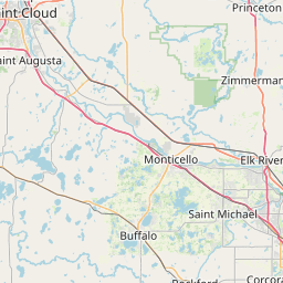

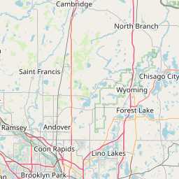
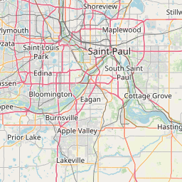
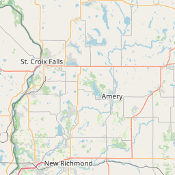
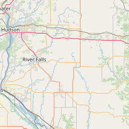
- GPS
- 45.27411, -93.242723
- Land area
- 421.973 sq mi
- Water area
- 24.108 sq mi
Cities in Anoka County


Andover, MN
45.25242, -93.337402


Anoka, MN
45.214398, -93.391638


Bethel, MN
45.40442, -93.274901

Blaine, MN
45.170515, -93.206089

Centerville, MN
45.167461, -93.055168
Circle Pines, MN
45.143748, -93.147517
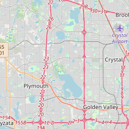
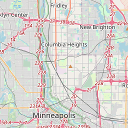
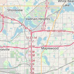
Columbia Heights, MN
45.049104, -93.246749

Columbus, MN
45.254914, -93.107678
Coon Rapids, MN
45.176411, -93.311454

East Bethel, MN
45.353204, -93.21766
Fridley, MN
45.084246, -93.26005
Ham Lake, MN
45.25393, -93.194841
Hilltop, MN
45.053579, -93.250127
Lexington, MN
45.138153, -93.171375
Lino Lakes, MN
45.15546, -93.106858


Nowthen, MN
45.343116, -93.449553
Oak Grove, MN
45.348351, -93.32727
Ramsey, MN
45.260019, -93.452233
Spring Lake Park, MN
45.11593, -93.245164
St. Francis, MN
45.394034, -93.394117
County GPS and area from the U.S. Census Bureau 2024 Gazetteer.